|
| *****SWAAG_ID***** | 358 |
| Date Entered | 26/11/2011 |
| Updated on | 03/12/2011 |
| Recorded by | Tim Laurie |
| Category | Geographical Record |
| Record Type | Botanical HER |
| Site Access | Public Access Land |
| Record Date | 30/09/2011 |
| Location | Birkdale Common |
| Civil Parish | Muker |
| Brit. National Grid | |
| Altitude | 670m |
| Geology | Remnant of blanket peat on Swale-Eden Interfluve. |
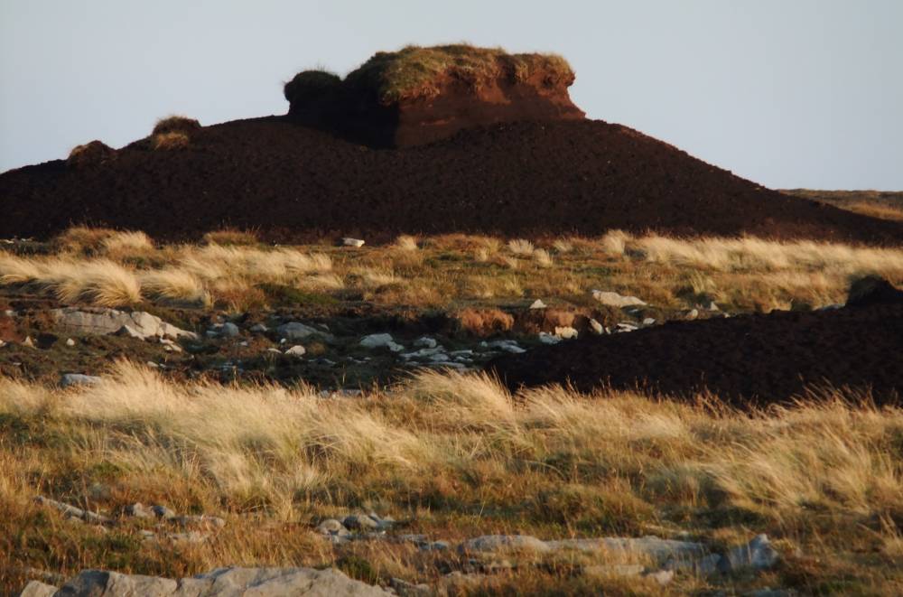
| Record Name | MUK000 Mallerstang Edge. Blanket peat remnant of once contiuous deep peat cover. |
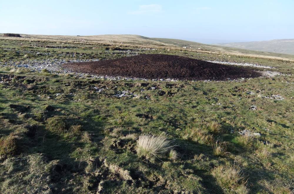
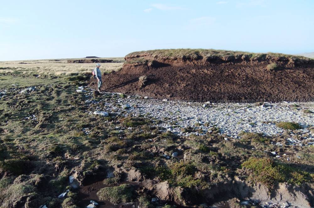
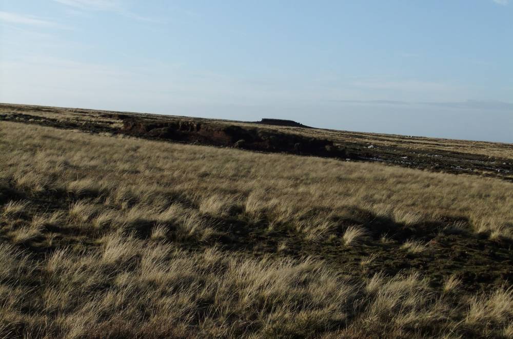
| Record Description | Eroded peat fragments forming isolated islands indicative of a once continuous cover of blanket peat averaging 2-3mdeep.
These peat fragments are now completely isolated from one to the other. Each peat 'island' shaped by wind to the most elegant form, each capped by the once continous turf layer of heath vegetation. Each island is surrounded by a halo of bare stony ground where vegetation has not yet regrown.
These bare ground halos a measure of the rapidity of the loss of the peat from the Pennine Plateau.
No radio carbon dates or pollen reports are yet available to determine the different climate zones which are represented within this peat. |
| Dimensions | See photos |
| Geographical area | Upper Swaledale |
| Image 1 ID | 1449 Click image to enlarge |
| Image 1 Description | |  |
| Image 2 ID | 1450 Click image to enlarge |
| Image 2 Description | |  |
| Image 3 ID | 1451 Click image to enlarge |
| Image 3 Description | | 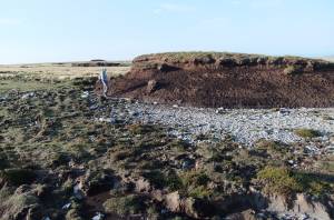 |
| Image 4 ID | 1452 Click image to enlarge |
| Image 4 Description | | 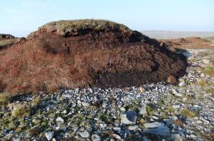 |
| Image 5 ID | 1453 Click image to enlarge |
| Image 5 Description | | 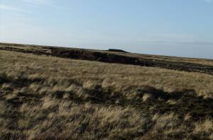 |